Historical Society uses grant to preserve town maps
When it comes to novelists researching old sea captains, residents looking for information on their heirs and surveyors tracking down boundary lines, the Mattapoisett Historical Society is the place to go. But, finding relevant documents for such a variety of interests is challenging.
“We get a lot of people doing research in here and they don’t have hours and hours as we dig through boxes to find things,” Curator Elizabeth Hutchinson said.
Thanks to a $16,000 Community Preservation grant approved by Town Meeting voters last May, the historical society is making inroads into cataloging and preserving its documents with a focus on maps.
Set in corners, rolled up in boxes and pasted in books, the Mattapoisett Historical Society has hundreds of uncataloged maps.
With the grant, those maps as well as ship schematics and the occasional blueprint will be more accessible to residents, researchers and surveyors and be better preserved for the future.
“It’s crazy how fast things can deteriorate when they’re not kept in proper conditions,” said Hutchinson.
With the grant, those documents will be better preserved. Around $6,000 of the grant was used to purchase acid-free archival boxes, folders, shelving and other materials to properly store and organize the collection.
The remainder is being used to flatten, photograph and categorize maps of the town.
The society hired archivist Lenora Robinson for 500 hours to help with the project.
Robinson has already begun to tackle an approximately two-foot by two-foot book of surveyor maps from the mid 1800s. The more than 300 maps have a lot to say about the town’s history, and said Hutchinson, are often used by surveyors in town to check property lines.
“You get the same family names that have been here for over 150 years: Cannon, Dexter, Sparrow, Hadley, Mahoney, Tinkham,” Hutchinson said.
The survey maps have been photographed and uploaded. Robinson is now cross-referencing the information on each map to make the information easier to search on the computer.
Individual maps, most of them rolled up for decades, are also in the process of being flattened so they can be cataloged and filed in a flat drawer.
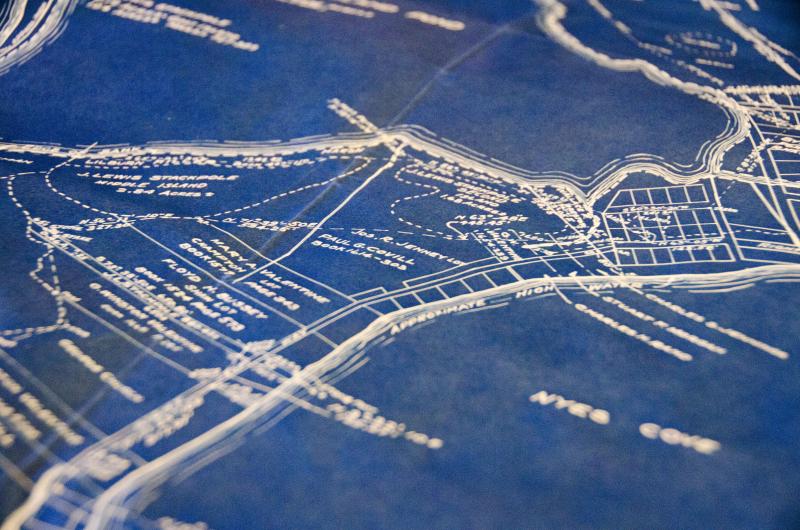
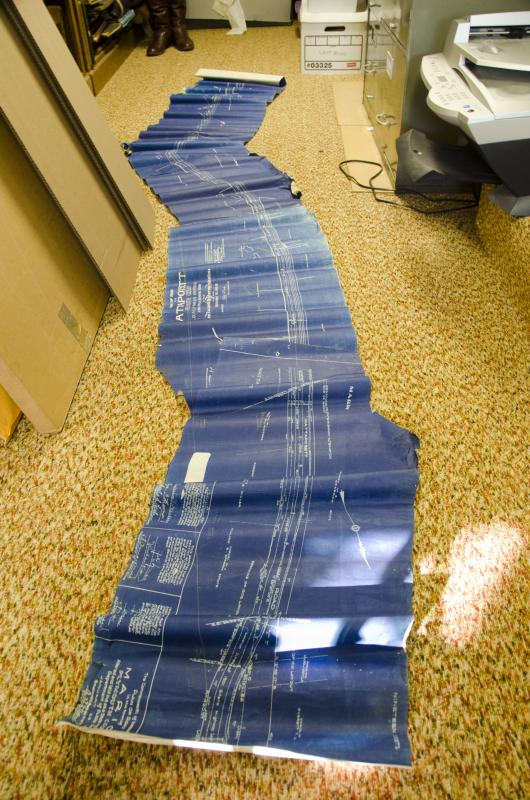
In the process of going through the boxes of maps, Hutchinson said she’s found some interesting pieces, including a full-length blueprint of Marion Road, now Route 6, from 1903. The map includes the names of landowners on either side of the road.
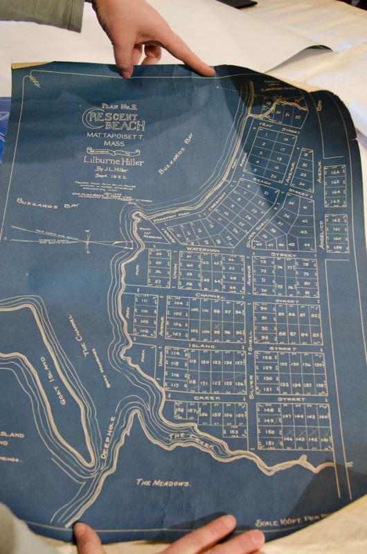
Hutchinson and Robinson also uncovered the ship schematics of a whaling boat named “The Sunbeam,” and a map of the Crescent Beach area before the Hurricane of ‘38.
Since the survey book and many of the individual maps are fragile, the computer database will help preserve each document.
“Time is taking it’s toll,” said Hutchinson. “The nice thing about this is we don’t have to pull this out until we’re actually ready to do it.”
All of the maps will be cataloged by June and will be available for anyone who wants to come to the research room and view them. Hutchinson hopes the increased organization and computer database will encourage more people to visit the society.
“As it gets easier for people to research, people refer to us more and more often,” she said.
Once this project is completed, Hutchinson plans to tackle papers in the collection, of the family, town and church variety. Those too will be sorted and cataloged.
Eventually, the database will be available online for researchers.
For now, the public is welcome to visit the museum and use the existing database for research.
Contact the Mattapoisett Historial Society, located at 5 Church Street, at 508-758-2844, or mattapoisett.museum@verizon.net or online at mattapoisetthistoricalsociety.org.


