Towns awarded Buzzards Bay grants
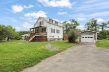
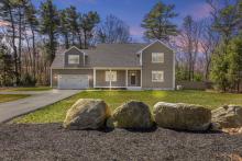
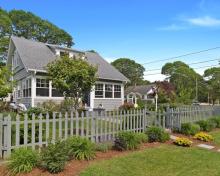
The Buzzards Bay watershed will be getting some eco-improvements thanks to grants awarded to Marion, Mattapoisett and Rochester funded by the Environmental Protection Agency.
Administered by the Buzzards Bay National Estuary Program, the grants will be used for projects in storm water testing and treatment; protecting wetlands and wildlife; and improving water supplies.
Buzzards Bay was designated an “Estuary of National Significance” by Congress in 1985. The effort was led by the late Senator Edward M. Kennedy, who joined with other lawmakers to pass legislation that led to the creation of the National Estuary Program in 1983. The Buzzards Bay National Estuary Program is one of 28 estuary programs designated by the EPA.
Grants were also awarded to eight other towns on the watershed.
Marion Town Administrator Paul Dawson said $18,652 granted for a water quality testing and detection program. The money will be used to hire an engineering firm to run the program. According to Dawson, the town has been identifying homes with illegal connections to the sewer system.
“A majority of these connections come from sump pumps in basements,” Dawson said. “This increases the capacity at the plant and forces us to treat storm water, not sewer water. Our water goes into the Bay, so there was a lot of interest in our program.” He added that downspouts tied into the sewer system have also been found.
“The ultimate goal is to find and fix leaky pipes as well as these ties to the system,” he said. “This is one piece to improving the quality of Buzzards Bay while reducing the overtaxing of our waste water treatment plan. Once we have a clear picture, we will determine if our storm system is capable of handling the extra flow and what treatment options we have.”
Mattapoisett received $35,000 to protect 16.61 acres of land along the Mattapoisett River to protect wetlands and endangered species. Water and sewer department superintendent Nick Nicholson said the area also lies within a Department of Environmental Protection area as well.
“Activities on the surface of properties, like construction or laying blacktop, can affect the groundwater,” Nicholson said. We’ve been very fortunate to have good control of the properties in the aquifer protection district.”
Nicholson said the 16.61 acres would be part of a long-term project to acquire and preserve drinking water areas or wetlands.
“Part of the purpose of this grant is to obtain the land to keep its natural state,” Nicholson said. “And it keeps nitrates from being added into the groundwater.”
Rochester was granted $15,000 to hire a consultant for upgrading the town’s geographic information systems. GIS create digital maps overlaying how a town’s land is used. Rochester will use GIS specifically for wetland boundaries already defined by the Conservation Commission.
“Over the years all the wetlands filing has been made by flagging the property and being located by a field survey,” said Laurell Farinon, Rochester conservation agent. “The hired consultant will digitize the information so we have a better wetlands data for the town.”
Farinon said no fieldwork would be involved, but rather a laborious digitalization of more than 500 files. The maps created will provide an easier overlay of how the land is used and could be used.
“When people buy a piece of property or the town is planning something, we’ll have more information to provide them. And this helps with resource protection too. This makes it easier for everyone.”