Historical society maps out history in Mattapoisett
Three riding stables, two schools, cranberry bogs, and three separate mentions of the Mattapoisett Boatyard. Those were the recreation hotspots for past Center School second-graders, as dictated by a map created many years ago.
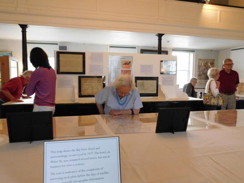
The map, hung in the Mattapoisett Historical Society's headquarters, is just one of many different Mattapoisett maps currently on exhibit. The maps chart the history of Mattapoisett beginning when it was still part of Rochester, through the present day, and focus on a different look at the town's history.
One map charts the reach of floodwaters from the hurricane of 1938, while another diagrams all of the old train lines that used to dot the state Massachusetts. Interestingly, one train line, which linked to Onset, ran right down Church Street, at the Historical Society's front door. That same rail, through a series of linking points, could also reach Providence, Rhode Island and western Massachusetts.
The earliest map of Mattapoisett dates from 1744. It charts a piece of property owned by Noah Dexter, on the east side of the harbor.
Some early maps trace the history of ownership of several Mattapoisett Village parcels. If you're curious as to the history of your house and lot, this map might have the answer.
Other maps indicate property boundaries too difficult to decipher, their reference points ("stake, formerly was a pine tree") having long since disappeared.
Perhaps the most interesting map (and by far the largest, covering the upper back wall of the museum) is a map created in 1919, called "A Chart of the Whale Coast of New England, c. 1810."
The mural was created by New Bedford artist Clifford Warren Ashley, for his friend Gilbert Hinsdale, a Mattapoisett resident. The artwork spent the next 90 years in Hinsdale's house.
Though the mural portrays most of the east coast, Ashley included Mattapoisett in particular detail. Where the town sits, he painted a man fishing at the herring weir, the Mattapoisett shipyards, several town buildings, and even Hinsdale's house (which did not exist in 1810).
Although the majority of the maps represent a timeline of Mattapoisett's history, one does stand out; it charts the layout of a city on the other side of the ocean. It is a map of Paris, once held by a German soldier in World War I.
The map was found in a German dugout by a Mattapoisett soldier, who brought it home with him when he returned.
To study the maps, visit the Mattapoisett Historical Society at 5 Church Street, in Mattapoisett Village. The Historical Society is open Wednesday through Saturday, from 1 - 4 p.m. during July and August. Admission is $5 for adults and $2 for children. Children under six and Historical Society members receive free admission.


