UPDATE: Date for FEMA presentation Oct. 6
UPDATED: The Board of Selectmen has arranged an informational meeting regarding the FEMA Base Flood Elevation determination on Thursday, Oct 6 at 7 p.m. It will be in the Music Hall.
A presentation will be offered by FEMA designated Consultation Coordination Officer David Mendelsohn and Coastal Engineer Brian Caulfield of CDM/STARR, FEMA’s engineering mapping partner.
ORIGINAL POST: Town Administrator Paul Dawson said he expects to hear back from FEMA within the next couple of days about when the agency will come to the Music Hall in Marion and explain its new flood maps.
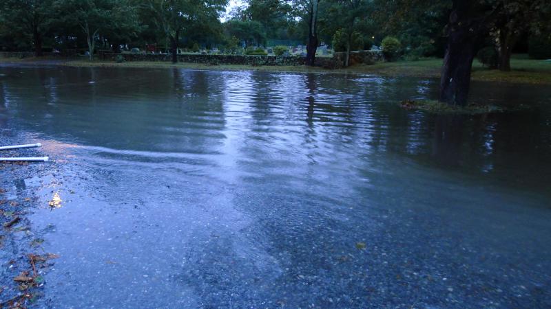
The new maps hold a variety of insurance implications for households within the floodplain. A floodplain is an area affected by flooding. The agency uses these maps to determine the risk of flooding that homeowners may face. High-risk areas are likely to see increased insurance premiums.
"It's just a matter of working out the dates," said Dawson at the Board of Selectmen's meeting on Tuesday, September 20.
Chairman John Henry encouraged residents to attend the presentation once the date is set saying that the implications of the new flood maps could be "enormous."
"I knew someone in Rhode Island whose insurance went from $1,400 to $4,000," said Henry.
Dawson expects that FEMA will provide a participatory presentation where residents can voice their concerns and have questions answered.
The proposed maps raise the floodplain elevation from 17 feet to 19 feet and extend the area in town affected by an “100-year floodplain,” or a flood that has a one percent chance of happening in any given year.
The town can make the decision to appeal or approve the maps within a 90-day period starting Sept. 2 and ending Dec. 1.