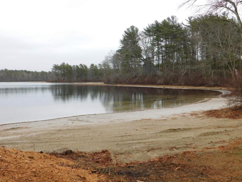
Snow's Pond has recovered after low winter levels
Residents in Rochester were upset last winter when they noticed Snow's Pond's water level sat much lower than usual.
The water level has rebounded, but nobody is sure why.
Last winter, as workers for Decas Cranberry Company dug a tailwater pond, used to collect water for bog irrigation, water was drained from the excavation site, leading some neighbors to believe it was draining Snow's Pond. After the Conservation Commission ordered a cease and desist in January for overexcavating the pond by eight feet, neighbors showed up in droves to meetings, insisting that the digging is what had caused the low pond levels that they noticed.
Decas representatives denied being the cause of the pond's water level decrease, and it was agreed upon to bring in a hydrogeologist for analysis.
Findings indicated that the water at Snow's Pond might have been slightly affected by the excavation site, but much more likely the cause of the low water levels was the drought affecting the region at the time.
Ultimately, the Conservation Commission ordered that Decas had to pay for two groundwater monitoring wells to establish a baseline for the groundwater and monitor changes in its levels throughout the next year.
Bristol Engineering Advisors has been collecting water level data from Snow’s Pond since March from two monitoring wells.
Data shows that regional groundwater recovered dramatically between mid-March and late May, and then began to level off.
Peter Newton, a hydrogeologist from Bristol Engineering, wrote in his report that Decas’ activities coincided with a prolonged period of below-normal precipitation. Coincidentally, the termination of Decas’ activity was accompanied by several weeks of substantially above-normal precipitation.
“The whole thing kind of worked out as an unfortunate confluence of events,” Newton said.
In addition to the two monitoring wells, Newton also had a piezometer driven into the lake bed. The piezometer looks like a small pipe, and its purpose was to measure the groundwater to compare it to Snow’s Pond’s elevation, and tell if the pond is losing water to groundwater.
Newton said that in a pumping scenario, such as as the tailwater pond excavation site, the piezometer would measure a lower pressure because the pond would have to refill the ground water.
However, the piezometer went missing, and data can no longer be collected.
“It’s unfortunate because it was a nice way to tie in the groundwater elevation with Snow’s Pond and the bogs,” Newton said.
The last time the piezometer was seen was in June.
The water levels in Snow’s Pond have risen more than a foot, but officially speaking, Newton couldn’t say if the pond’s level was back to “normal” because no normal had ever been established.
“There’s no survey data prior to this happening,” Newton said. “It was ‘low’ compared to what neighbors were talking about, but I don’t know what normal levels for the pond are.”
However, despite the rise in the pond’s elevation, Newton isn’t sure it’s due to anything more than a wet spring.
“The pond had recovered considerably from over the winter, but also water levels all around have come up,” he said.
“Ground water levels in Lakeville, groundwater in the Decas area, Snow’s Pond…everything seems to have rebounded considerably.”
The wells will continue to monitor water levels in the area, and take data at every hour.


